Yedigöller Autumn Walk: Lake-by-Lake Route and Safety
The seven lakes of Yedigöller line up along a 1,500-metre stretch on two levels. A guide to planning the loop that follows this layout in autumn: route, footing and timing.
The best autumn walk at Yedigöller is a loop that starts at Büyükgöl and Deringöl, climbs about 100 m to the Nazlıgöl level and finishes at Seringöl. There is no official trail length; GPS recordings show 5-8 km and 3-4 hours with stops. In mid-October start by 13:00 at the latest and take short steps on wet leaves.
What walking route should you follow at Yedigöller in autumn?
The seven lakes of Yedigöller National Park (the "Seven Lakes") line up from north to south along a roughly 1,500-metre stretch, on two levels with a height difference of about 100 m between them. The most sensible autumn walk is a loop that follows this layout: start on the lower level at Büyükgöl and Deringöl, climb to Nazlıgöl and the small lakes on its level, and call at Seringöl on the way back. No official trail length is published for this loop; visitors' GPS recordings show roughly 5-8 km depending on the route, and 3-4 hours including photo stops.
This guide focuses only on the walk itself: the route lake by lake, footing on wet leaves, timing the loop around daylight, and safety. You will find which week the colours peak in our leaf-fall calendar, what to pack in our autumn packing list, and what to photograph at each lake in our photography route.
The Yedigöller trail in numbers
| Topic | Details | Source |
|---|---|---|
| Area | 1,623 ha; national park since 1965 | DKMP 9th Regional Directorate |
| Order of the lakes | North to south: Seringöl, Büyükgöl, Deringöl, Nazlıgöl, Kurugöl (Küçükgöl), İncegöl, Sazlıgöl | DKMP, Kültür Portalı |
| Length of the chain | The lakes spread over about 1,500 m from north to south | Kültür Portalı |
| Elevation | Main level about 780 m on average; 100 m difference between the two levels | Kültür Portalı |
| How the lakes formed | Dammed lakes formed when two landslides blocked the valley; some are linked underground | DKMP |
| Büyükgöl | The largest lake, 15 m at its deepest | Kültür Portalı |
| Deringöl | South-east of Büyükgöl, linked to it by a 20 m stream | Kültür Portalı |
| Nazlıgöl | On the upper level; water seeping from its bed forms a waterfall at its north-eastern end ("Waterfall Lake") | Kültür Portalı |
| Forest | Mainly beech, with oak, hornbeam, alder, black pine, Scots pine, fir, lime and yew | DKMP |
| 2026 entry | Pedestrians 75 TL, cars (occupants included) 225 TL, paid via HGS | DKMP 2026 tariff |
The information is compiled from the DKMP 9th Regional Directorate's park page, the Ministry of Culture and Tourism's Kültür Portalı and the DKMP 2026 fee tariff. DKMP is Türkiye's General Directorate of Nature Conservation and National Parks; HGS is the country's electronic toll tag system. Kültür Portalı gives the area as 1,642 ha; the small difference comes from measurement differences between the sources.
The practical takeaway from this table: at Yedigöller the distance is short, but the footing changes constantly. What tires you out is not the kilometres but the climb and descent between the two levels and the carpet of wet leaves.
The autumn route, lake by lake
The order below puts Büyükgöl, where the crowds are thickest, early in the morning and leaves the quiet smaller lakes for the middle of the day.
- Büyükgöl shore (lower level). Most visitors gather here. The wooden jetties and footbridges along the shore are slippery in the morning dew. DKMP put the renewal of these jetties and bridges, plus the building of railings, out to tender on 13 July 2026, with a works period of 75 days from site handover (tender notice). If some sections are closed for works in autumn, follow the warning signs and use the alternative path.
- Deringöl. This lake, south-east of Büyükgöl, connects to it through a short 20 m stream. The stretch between the two lakes is the flattest and easiest part of the route; if you are walking with small children or older guests, the loop can end here.
- The climb to the upper level. The height gain of about 100 m is the route's only serious slope. The climb is tiring, but the part that really needs care is the descent on the same path: roots and stones are hidden under the leaves.
- Nazlıgöl and the waterfall. Water seeping from the bottom of the lake emerges as a waterfall at its north-eastern end. The area around the waterfall is always damp; don't step on mossy stones and don't leave the path to get down to the water.
- Kurugöl (Küçükgöl), İncegöl and Sazlıgöl. These lakes, on the same level as Nazlıgöl, are the quietest part of the route. Sazlıgöl's shore is reedy and soft. With more than 100 bird species recorded in the park, this is a good place for a short rest and some birdwatching.
- The return and Seringöl. Come back down to the lower level and finish the loop at Seringöl, north of Büyükgöl. In the afternoon the crowd along Büyükgöl's shore is at its peak, so keeping Seringöl for the return lets you walk against the flow.
- Optional: Kapankaya and the Monumental Black Pine. According to DKMP, Kapankaya is a viewing terrace overlooking the lakes, and the Monumental Black Pine (Karaçam Anıt Ağacı) is reached by a footpath from the roadside sign. Add them after the loop if you still have energy.
Short, medium or full: which version suits whom?
| Version | What it covers | Footing | Who it suits |
|---|---|---|---|
| Short | The shores of Büyükgöl and Deringöl | Mostly flat; jetties can be slippery | Small children, older guests, short visits |
| Medium | Short version + Nazlıgöl and the waterfall on the upper level | One climb and one descent | People who don't walk regularly but are reasonably fit |
| Full | All seven lakes, with Seringöl on the way back | Climb, descent, wet leaves and roots | Anyone with walking shoes who can set aside 3-4 hours |
The 3-4 hours for the full loop is longer than the same walk on a summer's day: wet ground shortens your stride and photo stops get longer. Plan around your return time, not the duration.
How should you walk on wet leaves?
In autumn the ground at Yedigöller is almost never completely dry. According to MGM's long-term statistics for Bolu (MGM is the Turkish State Meteorological Service), there is rain on 10.7 days in October and 11.8 days in November on average; the average low is 6.2 °C in October and 2.1 °C in November. So roughly a third of the days in these months are wet, and on November mornings there is a chance of ice in the shade.
Seven rules for the footing:
- Take short steps. A long stride on wet leaves puts your weight on your heel and starts a slip.
- Side-step on descents. On steep sections, turning your body slightly sideways to the slope and placing your feet flat is safer than walking straight down.
- Step on soil, not on roots, stones or boards. Wet roots and timber are even more slippery than leaves.
- If you don't know what is under a pile of leaves, don't step on it. Thick drifts of leaves can hide holes or puddles.
- Use poles. Two walking poles protect your knees and balance, especially on the way down from the upper level.
- Keep your hands free. Put your camera and flask in your bag; if you slip, you need to be able to grab hold of something.
- Consider postponing the full loop for the first few hours after rain. It is safer to walk the short version and leave the upper level for a sunny midday.
The footwear and clothing list is in our packing guide; we don't repeat it here.
What time should you start the loop?
In the wooded valley, darkness falls earlier than in open country. Sunrise-Sunset.org data for Yedigöller's coordinates:
| Date | Sunrise | Sunset | Latest start for the full loop (suggested) |
|---|---|---|---|
| 17 October 2026 | 07:05 | 18:11 | 13:00 |
| 31 October 2026 | 07:21 | 17:52 | 12:45 |
| 15 November 2026 | 07:38 | 17:36 | 12:30 |
The last column is our own suggestion, adding a safety margin of about an hour to a 3-4-hour loop. Better still is to start in the morning: if you set off walking at around 09:00 you will find Büyükgöl quiet and can keep the afternoon for Kapankaya or for resting.
Nesilce Tatil Köyü is about 48 km from the park, along a winding forest road. Leave at 08:00 after breakfast and, with stops, you can be walking by 09:00-09:30. If you plan to leave early, arrange the breakfast time the day before.
Safety on an autumn walk
- Wildlife. According to DKMP, red deer, roe deer, wild boar, wolves, foxes and bears live in the park. Early in the morning and late in the afternoon, walk while talking and make some noise; don't leave food scraps and don't feed animals.
- Stay on the path. Looking for shortcuts is the most common cause of both slipping on wet slopes and getting lost.
- Share your route with someone. On the valley floor your phone may not have signal everywhere; download the map for offline use. In an emergency, call 112.
- Take care at the water's edge. Shoreline stones and the ends of jetties are mossy and wet in autumn.
- After mid-November, check the road. The Bolu-Yedigöller road closes because of snow in winter; during that period the Yeniçağa-Mengen-Yazıcık route is used. For the road, opening hours and the current status of the appointment-based entry announced for 2026, call the National Parks Bolu Branch Office: 0374 215 52 81.
- Don't light fires, and take your rubbish home. The full park rules are in our Yedigöller visitor rules post.
Where to rest after the walk
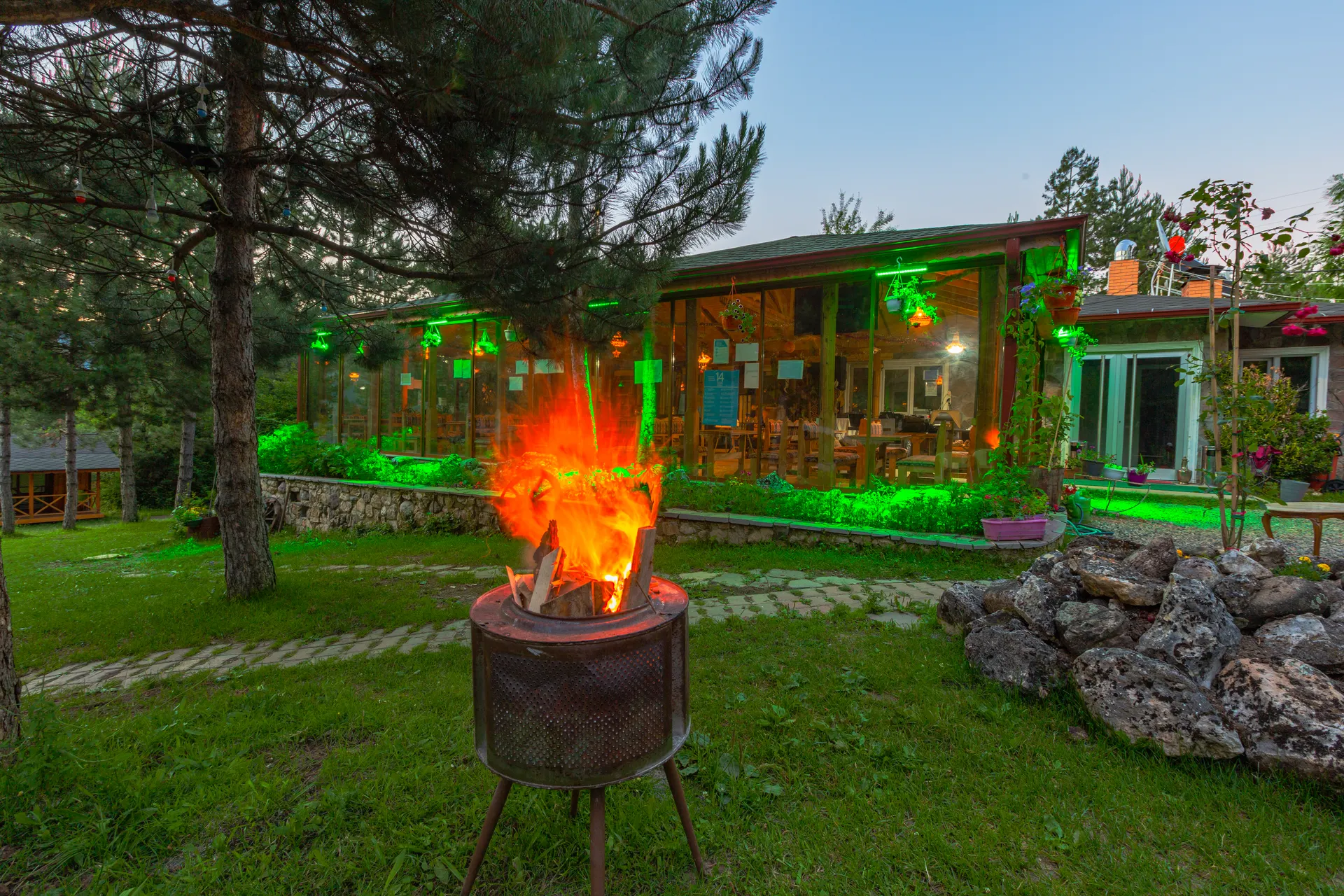
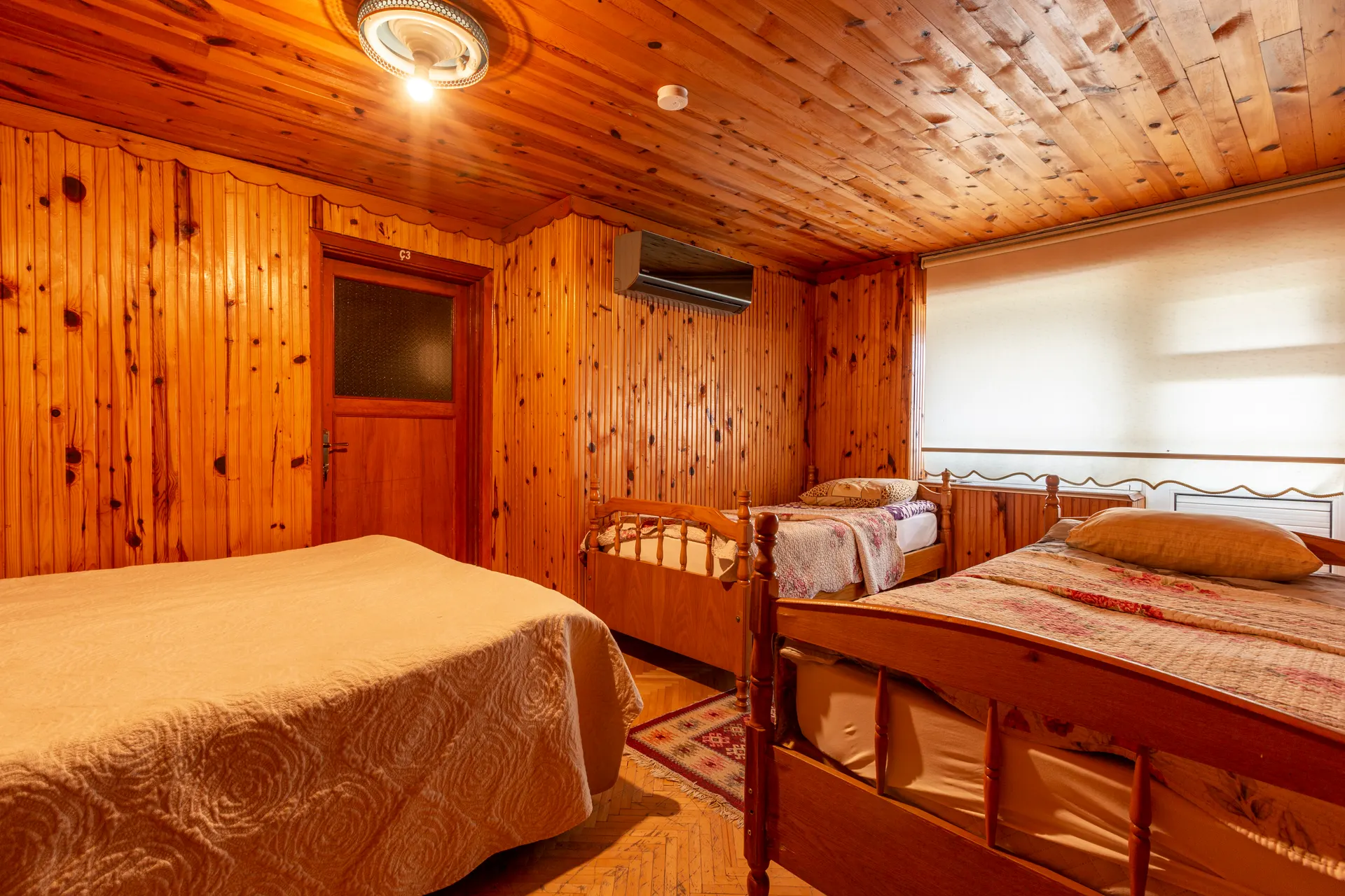
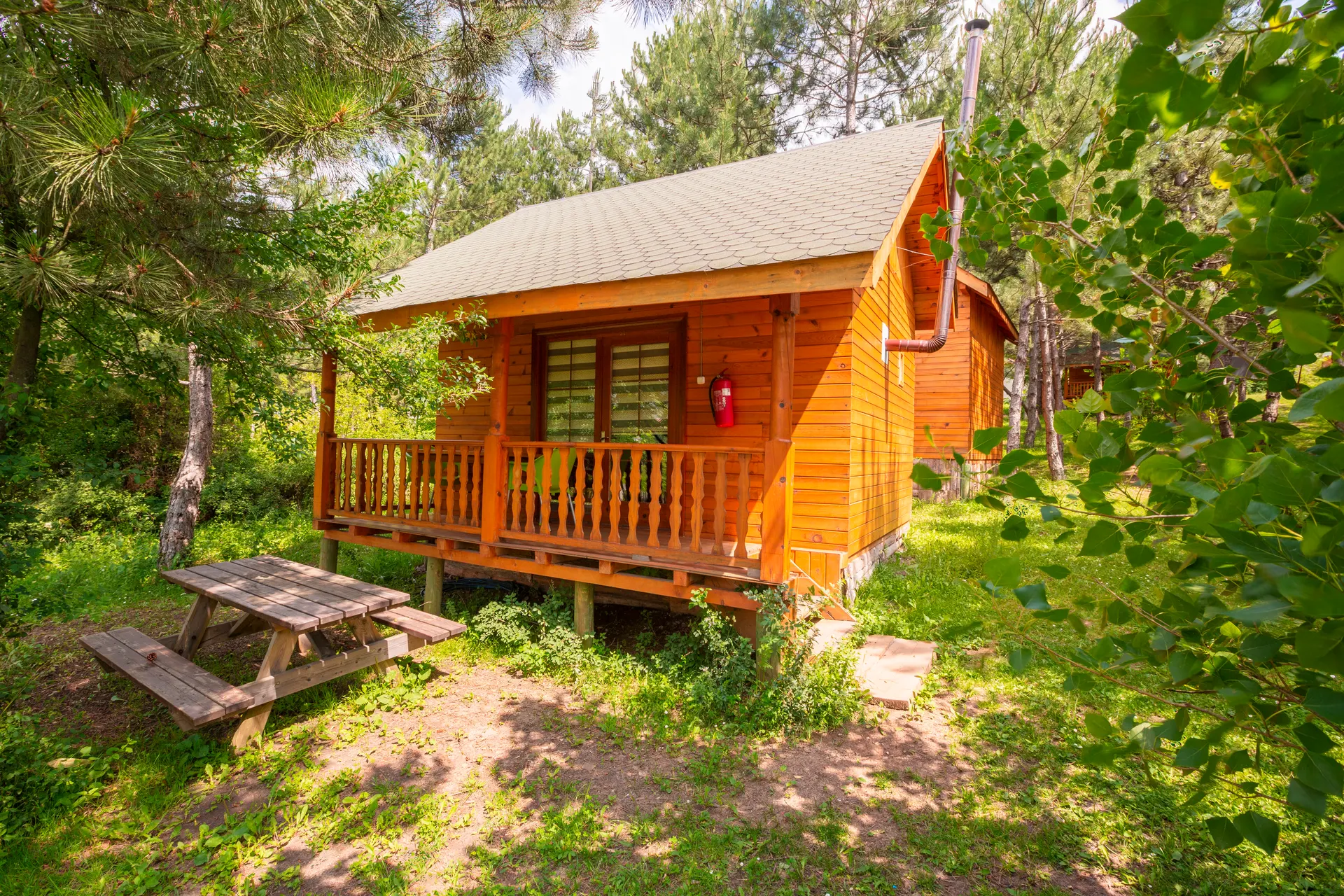
The Yedigöller loop fills half a day on its own; driving back to Istanbul or Ankara the same day rushes the walk. Being in the area the night before lets you give the morning to the park and the afternoon to resting. At Nesilce, check-in is at 14:00 and check-out at 12:00; a Turkish village breakfast, free parking and Wi-Fi are included with every stay. For larger groups, the living room and terrace of a duplex bungalow give plenty of space to dry out wet boots and jackets.
For route and seasonal planning see our Yedigöller page; ask about availability by phone or WhatsApp via our contact page, or book through our official listings: Airbnb · Hotels.com.
Sources
- DKMP 9th Regional Directorate: Bolu Yedigöller National Park
- Ministry of Culture and Tourism, Kültür Portalı: Yedigöller National Park
- DKMP: 2026 Protected Areas Fee Tariff
- DKMP 9th Regional Directorate: Tender notice for renewing Yedigöller's wooden jetties and bridges (2026)
- MGM: Official climate statistics for Bolu (1929-2025)
- Sunrise-Sunset.org: sunrise and sunset data
If you'd like to be in the area the night before so you can walk the Yedigöller loop early in the morning, call us on +90 507 922 11 18 or send us a WhatsApp message.
Frequently asked questions
How long does it take to walk around all the lakes at Yedigöller?
No official time is published. Visitors' GPS recordings show roughly 5-8 km for the full loop, depending on the route, and 3-4 hours including photo stops. In autumn, plan on the upper end of that range because of the wet ground.
Is the Yedigöller walking trail difficult?
It isn't technical, but it varies. According to Kültür Portalı, the lakes sit on two levels with a height difference of about 100 m. The Büyükgöl-Deringöl shore is mostly flat; the climb to the Nazlıgöl level, and especially the descent, need care on wet leaves.
How do you walk to the Nazlıgöl waterfall?
By climbing from the lower level, where Büyükgöl and Deringöl are, to the upper level. The waterfall forms where water seeping from the bottom of the lake emerges at its north-eastern end; the area around it is always damp, so don't step on mossy stones and don't leave the path.
What should you watch out for when walking on wet leaves?
Take short steps, side-step on descents, step on soil rather than roots, stones or timber, use two poles and keep your hands free. Straight after rain it is safer to walk the short version instead of the full loop.
Might you meet a bear at Yedigöller?
According to DKMP, bears, wolves and wild boar also live in the park, but encounters on the trail are not common. Make some noise as you walk early in the morning and late in the afternoon, don't leave food scraps and don't feed any animals.
What time should you start a Yedigöller walk in November?
On 15 November sunset is at about 17:36, and darkness falls earlier in the wooded valley. We suggest starting the full loop by 12:30 at the latest, and ideally setting off walking at around 09:00.
Plan your Yedigöller break now
Call us for availability, room types and route suggestions around Yedigöller.
Book online:AirbnbHotels.com